
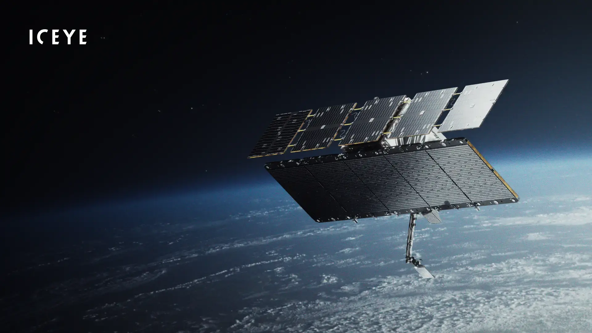
Finnish Earth observation and space technology leader ICEYE unveiled its fifth-generation (Gen5) Synthetic Aperture Radar (SAR) satellite system on November 16, 2026, marking a major milestone in commercial space-based intelligence, surveillance, and reconnaissance (ISR). Representing the fifth satellite generation developed by the company in eight years, Gen5 is engineered to deliver unprecedented imaging clarity, vastly expanded collection capacity, rapid orbital agility, and onboard artificial intelligence. Because Synthetic Aperture Radar uses active microwave signals rather than passive sunlight, ICEYE’s spacecraft can penetrate thick cloud cover, smoke, volcanic ash, and complete darkness to capture reliable, actionable Earth imagery around the clock. With the introduction of Gen5, ICEYE establishes a new benchmark as the sharpest commercially built SAR satellite system ever created, dramatically narrowing the historical performance gap between private aerospace constellations and classified sovereign defense assets.
The headline technological breakthrough of the Gen5 architecture is its ultra-fine 11-centimeter ground resolution, made possible by expanding the radar’s imaging bandwidth up to 1,800 MHz (1.8 GHz). This peak 11-centimeter capability—achieved at a 50-degree incidence angle and specifically reserved for eligible government and sovereign defense customers subject to International Telecommunication Union (ITU) spectrum regulations—allows intelligence analysts to distinguish subtle structural details, identify specific vehicle variants, and classify small tactical objects with unprecedented confidence. For commercial enterprises and standard users, Gen5 operates at a 1,200 MHz bandwidth that delivers ground resolution as fine as 16 centimeters (and 17 centimeters at a 30-degree incidence angle under higher bandwidths), bolstered by higher radar transmit power and wider incidence angles that markedly improve signal-to-noise ratios and overall image sharpness across every operating mode.
Beyond raw spatial resolution, Gen5 fundamentally transforms constellation productivity through vastly upgraded collection agility and orbital endurance. Operating at an orbital altitude between 450 and 600 kilometers, the spacecraft features an advanced attitude control system that reduces the minimum Image Window Separation by more than 30 percent. By shrinking the slewing time required to repoint the radar beam between consecutive targets across a spot-to-spot agility range of under 800 kilometers, each Gen5 satellite can capture 18 or more distinct images during a single acquisition pass. Combined with power and thermal management upgrades that double the total imaging time per orbit compared to Gen4 platforms, a single Gen5 satellite generates substantially more intelligence per pass, enabling users to monitor dense clusters of high-value targets without expanding constellation size.
Versatility across diverse operational theaters is another core strength of the Gen5 payload, which supports the widest spectrum of imaging modes in ICEYE’s history. A single spacecraft can seamlessly switch between wide-area maritime or border surveillance covering up to 120,000 square kilometers and ultra-high-resolution spot imaging zoomed into a focused 5-by-5-kilometer scene. Furthermore, ICEYE equipped Gen5 with faster orbital raising and precision orbit control, ensuring the satellite spends less of its operational lifespan maneuvering into position and more time actively collecting data. This precise propulsion and navigation architecture enables repeatable daily ground tracks, allowing the satellite to image the exact same location from identical viewing angles day after day. Such geometric consistency is vital for coherent change detection (CCD), making millimeter-to-centimeter surface disturbances—such as vehicle tracks, subtle infrastructure shifts, or early signs of ground subsidence—immediately obvious to analysts.
For the first time in an ICEYE spacecraft, Gen5 integrates a dedicated onboard artificial intelligence (AI) processor directly in orbit, shifting time-critical data analysis from ground stations to the space segment itself. Rather than waiting to downlink massive raw radar datasets before beginning interpretation, the onboard AI engine can perform automated screening, pre-processing, target detection, and classification in real time. This edge-computing architecture also supports autonomous tip-and-cue tasking, enabling the spacecraft to recognize an anomaly—such as an unscheduled naval vessel or flood breach—and immediately trigger follow-up high-resolution collections. To match this accelerated onboard intelligence, ICEYE doubled the satellite’s data downlink speed to up to 1 gigabit per second (Gbps) using a steerable high-gain antenna, drastically compressing the “time-to-decision” window from initial target capture to actionable intelligence delivery on the ground.
Crucially, ICEYE designed Gen5 not as an isolated piece of hardware, but as an evolving, software-defined orbital platform powered by IceOS. Following an agile aerospace development cycle that introduces a new satellite generation roughly every 18 months alongside quarterly IceOS software releases, Gen5 satellites are engineered to gain new analytical models, compression algorithms, and autonomous features via over-the-air updates while already in orbit. Existing ICEYE customers can incorporate Gen5 satellites directly into their workflows without replacing ground antennas, altering tasking pipelines, or retraining operators, as the new generation remains fully compatible with ICEYE’s established ground segment and ISR Cell software.
Finally, the Gen5 announcement carries major strategic implications for international defense procurement and sovereign space programs. Built in Europe and engineered to be completely free of U.S. International Traffic in Arms Regulations (ITAR) restrictions, Gen5 offers allied nations independent access to top-tier spaceborne radar intelligence. Leveraging ICEYE’s proven turnkey delivery model, sovereign governments can procure and deploy a complete, fully operational Gen5 satellite system—including dedicated spacecraft, ground infrastructure, software, and operator training—within just 12 months of contract signing. Whether used for tracking naval fleets through Arctic storms, monitoring critical energy infrastructure, assessing disaster damage during hurricanes and floods, or supporting tactical defense operations, ICEYE’s Gen5 platform sets a transformative standard for persistent, all-weather global monitoring.